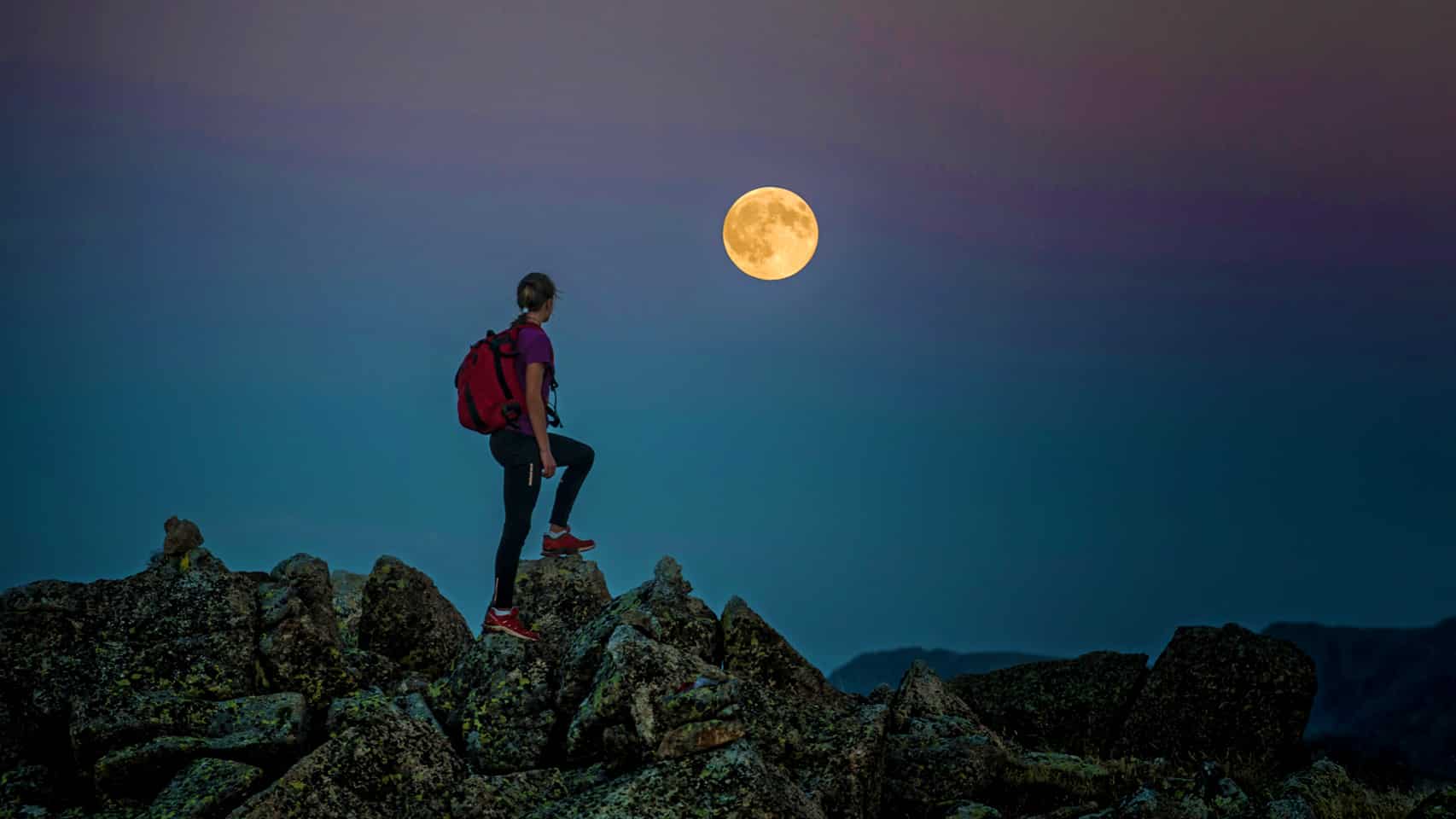


Andorra is a hiker’s dream, boasting countless trails that wind through secluded groves, alpine lakes, and meadows blanketed with wildflowers.
Hiking in this region offers an experience that equally satisfies families seeking leisurely walks and seasoned hikers searching for trails filled with challenges.
The country’s smallish size belies the vastness of its natural beauty, with trails that lead you through serene valleys, past gushing waterfalls, and up dizzying peaks.
Andorra’s miniature footprint is not a flaw, it’s a feature. The trail network here snakes through the Pyrenees and connects to that of France and Spain—you could spend a decade exploring this part of the world and still find new places.
Whether you’re looking for the best trails or the perfect place to stay in Andorra for hiking, we’ve got you covered. This guide will cover everything you need for an unforgettable trekking holiday in our cherished border town!
Beginner-Friendly Hikes
Hiking is much more than just exercise; it’s rejuvenating for both the body and mind. Depending on the difficulty level, it can be an excellent bonding activity or an icebreaker for friends and family.
Andorra offers a variety of easy-breezy hikes with elevation gain ranging from 200 meters to 300 meters. Find some of our favorites below.
Ruta del Ferro

Starting Point: Mina de Llorts
Distance: 4.24 km
Elevation Gain: 126 m
Level: Easy
The Ruta del Ferro, or the Iron Route, is an easy trail that combines nature and social sciences with the cultural history of Andorra’s iron industry.
Starting at the Mina de Llorts, an old iron mine, the path is mostly flat with a slight uphill section leading to La Cortinada, where you can explore a beautiful church and old mills. Since this route is a part of El Gran Recorregut dels Pirineus (GR11), the waymarking is red and white.
Llac d’Engolasters and Circuit de les Fonts

Starting Point: Engolasters parking lot
Distance: 5.61 km
Elevation Gain: 136 m
Level: Easy
This hike takes you around the accessible Engolasters Lake and through the lush forests surrounding it. It begins at the Engolasters car park and extends to the Corralets snack point.
The route winds through several natural springs, has many picnic spots, and offers a panoramic view of Andorra La Vella—the capital city.
Camí del Gall

Starting Point: Canillo
Distance: 5.86 km
Elevation Gain: 285 m
Level: Easy
Starting at the car park close to Canillo’s ski lifts, this scenic trail is marked by a red rooster and leads you past a Romanic church along with several lookouts and stunning sights of the villages and mountains.
The route takes you through wooden bridges and tunnels, followed by views of the Bordes del Vilar complex and the Seig River. It starts flattening out around 1,600 meters, leads to the ski slopes of El Tarter and Grandvalira, and ends at the CG-2 highway close to Soldeu.
From here you can either take a bus back to Canillo or return the way you came.
Intermediate Hiking Routes
On to the more challenging stuff. While not exactly technical, these hikes do require you to be in fairly good shape. If you’re new to hiking, be prepared to have your motivation tested.
These are all high-altitude hikes with elevation gains ranging between 500 and 800 meters. Estimated time for each (one-way) is between 3 and 5 hours depending on whether you’re in it for exercise or recreation.
Estanys de Juclar

Starting point: Centre d’Interpretació de la Vall d’Incles
Distance: 4.57 km
Elevation Gain: 465 m
Level: Easy-Intermediate
The trail to the Juclar Lakes winds through forests, waterfalls, mountain pine, and Alpen roses. It begins with an easy forest track until you get to the Travenc crossing, after which you’ll hike up the sunny mountainside and cross a river.
It gets steeper from there onwards, but it’s well worth it; you’ll arrive at two gorgeous alpine lakes where you can say hello to a Pyrenean brook salamander. There’s even a hut nearby where you can lodge, eat, and drink.
Mirador solar de Tristaina and Llacs de Tristaina

Starting Point: Ordino Arcalís parking lot
Distance: 6.15 km
Elevation Gain: 511 m
Level: Easy-Intermediate
Situated at the top of Peyreguils Peak in Ordino Arcalís, near the French border, this hike leads to a new lookout offering panoramic views and includes a route past four stunning alpine lakes.
The spot is surrounded by other peaks that make up the Tristaina Cirque, namely Costa Rodona, Tristaina, Creussans, and Cabanyó. Consequently, the sunsets here are some of the best you’ll see in the country.
Estany de l’Isla and Estany de Cabana Sorda

Starting Point: Parking lot Vall d’Incles
Distance: 12 km
Elevation Gain: 701 m
Level: Intermediate
This one’s a hidden gem. It’s a less-travelled path that leads to two beautiful alpine lakes, offering a mix of strenuous climbs and scenic beauty.
One of the two lakes is called Estany de l’Isla, which roughly translates to island lake—it has a small island-like structure in the middle, and you can get there by tip-toeing your way over a bed of rocks. A neat little easter egg!
Estanys de la Vall del Riu

Starting Point: Carretera dels Plans de Ransol
Distance: 5.86 km
Elevation Gain: 720 m
Level: Intermediate
Estanys de la Vall del Riu is a 5-ish kilometre out-and-back trail in Canillo that offers challenges and takes approximately 2.5 hours to complete. It’s not a secluded place, so brush up on your trail nods and expect to encounter other people.
This hike offers scenic landscapes and views of the Ransol Valley and one of Andorra’s largest lakes, the one which this hike is named after.
Pic de Casamanya

Starting Point: Coll d’Ordino
Distance: 3.75 km
Elevation Gain: 750 m
Level: Intermediate
Located between the parishes of Canillo and Ordino, Pic de Casamanya is a popular hiking route, especially among Andorran locals. It starts at the Ordino pass and weaves through the Airola forest.
It leads to a peak with breathtaking views of the surrounding mountain ranges. While not particularly technical, this trail will surely test your endurance as it linearly gains altitude.
Estanys i Pic de Pessons and Estanys de la Solana

Starting Point: Grau Roig parking lot
Distance: 12.12 km
Elevation Gain: 792 m
Level: Intermediate
If you’re like us and you like quarries and mountain lakes, then you’ve got to give this hiking trail a go. It covers six alpine lakes (the Pessons) in a granitic glacial cirque, surrounded by mountains at an altitude of 2,800 meters.
It’s a strenuous hike that will certainly test your stamina, particularly if you aren’t a regular hiker. But rest assured, after the first couple of kilometres it’ll get easier, mentally at least.
Challenging Hiking Routes for Seasoned Hikers
This is where it gets really interesting. Seasoned hikers and fitness freaks with a penchant for the outdoors will love these hiking routes. They’re some of Andorra’s finest, so be sure to give them a go.
These are all high-altitude hikes that gain over 1000 meters in elevation, so completing these will take anywhere from 6 hours to half a day.
Estanys d’Ensangents and Alt del Griu

Starting Point: Cortals d’Encamp
Distance: 5.96 km
Elevation Gain: 985 m
Level: Challenging
This one’s a circular route that passes through the idyllic valley of Ensagents. During this hike, you’ll have the opportunity to visit the Ensangents lake, the Casamanya, and the Colells glacial cirque.
Alt del Griu leads to one of Andorra’s highest peaks, including Aspra and Sierra de les Pedrusques from where you’ll return. You’ll find a signposted route at the Ensagents refuge.
Estanys de l’Angonella

Starting Point: Llorts
Distance: 5.45 km
Elevation Gain: 1015 m
Level: Challenging
Though short in distance, this trail is a continuous ascent leading to three emerald lakes in a wild and virgin landscape. It begins in a lesser-known mountain village called Llorts, situated in the parish of Ordino.
It starts out deceptively simple and then the landscape shifts as you climb and pass large stretches of pines, ancient stone cabins and ferrous rivers.
Pic de l’Estanyó

Starting Point: Vall de Sorteny
Distance: 11.72 km
Elevation Gain: 1135 m
Level: Challenging
Pic de l’Estanyó is an unforgettable hike in the Sorteny natural park—a UNESCO-declared biosphere reserve that’s home to protected flora, fauna, chamois, roe deer, marmots, and wild boars.
But it’s no walk in the park, pardon the pun. It’s a 23-kilometre roundtrip with an elevation difference of 1,135 meters—a nice challenge with a nice reward. You’ll also get to pass an alpine lake that offers 360-degree views from the peak!
Pic de Font Blanca (through the Estany Esbalçat)

Starting Point: Cabanes del Castellar (Ordino Arcalís)
Distance: 13.15 km
Elevation Gain: 1423 m
Level: Challenging
A tough climb to a peak that serves as a natural border between Andorra and France, Pic de Font Blanca is one of the most challenging hikes in Andorra but with fatigue-melting views of multiple mountain lakes.
There’s enough beauty and stimulus to keep you motivated while on your way. The route starts at Pleta del Castellar located right before the Ordino Arcalís ski resort.
Estany de la Nou

Starting Point: Carretera d’Engolasters
Distance: 17.34 km
Elevation Gain: 1235 m
Level: Challenging
Situated in one of the most secluded valleys in Andorra, the Estany de la Nou route is going to be a real treat for hikers regardless of their experience and skill set.
It’s a scenic trek through the Madriu-Perafita-Claror Valley which has been a UNESCO World Heritage Site since 2004. The circular route winds through the valley, leading to a high-altitude lake with crystal-clear waters, reflecting the surrounding peaks.
Coma Pedrosa (through the Refugi de Coma Pedrosa)

Starting Point: Arinsal
Distance: 13.5 km
Elevation Gain: 1410 m
Level: Very Challenging
Pic del Comapedrosa—the highest peak in Andorra. This hike is a true test of endurance owing to a considerable elevation gain, but rest assured because you won’t be alone. It’s quite a popular hike you’ll bump into friendly faces who will cheer you on.
The hike involves passing through a variety of landscapes and the best part is that you can stay at a mountain refuge atop the peak to rejuvenate and restart the next morning.
Hotels for Hikers in Andorra
Even though the best hiking spots in Andorra are all easily accessible given the country’s size, some places are a stone’s throw away from these spots.
These accommodation options are ideal if you wish to explore as much as possible and stay near the foothills of your favourite trekking spots. Here are some of the best places to stay in Andorra for hiking, from most to least expensive:
- Sport Hotel Hermitage & Spa: Located in Soldeu, this 5-star hotel offers direct access to the hiking trails and a luxurious spa to relax after a day of hiking.
- Hotel & Spa Xalet Bringué: A posh 4-star spa retreat in Ordino, near the high-mountain lakes of Tristaina, very close to Mirador Solar de Tristaina.
- Hotel Spa Termes Carlemany: Another spa retreat, except this one’s in Escaldes-Engordany; a great place to stay if you want to be close to the capital and wish to see Madriu-Perafita-Claror in southern Andorra.
- Hotel L’Ermita: Situated in Meritxell, near Canillo, this family-run hotel is known for its warm hospitality and proximity to hiking trails.
- Hotel Comapedrosa: Located in Arinsal, this hotel is a great base for those looking to tackle the Coma Pedrosa and offers good value for money.
Like It? Hike It

Whether you’re a novice or an expert hiker, Andorra’s trail clusters offer suitable routes for all skill levels. With its stunning landscapes, well-marked paths, and a range of accommodations, Andorra is a top destination for a hiking holiday.
So lace up your boots, pack your gear, and set off on an adventure through the Pyrenees’ hidden gem!
Feel free to reach out to us if you have any questions about finding accommodation in Andorra or figuring out the best way to spend your time here.